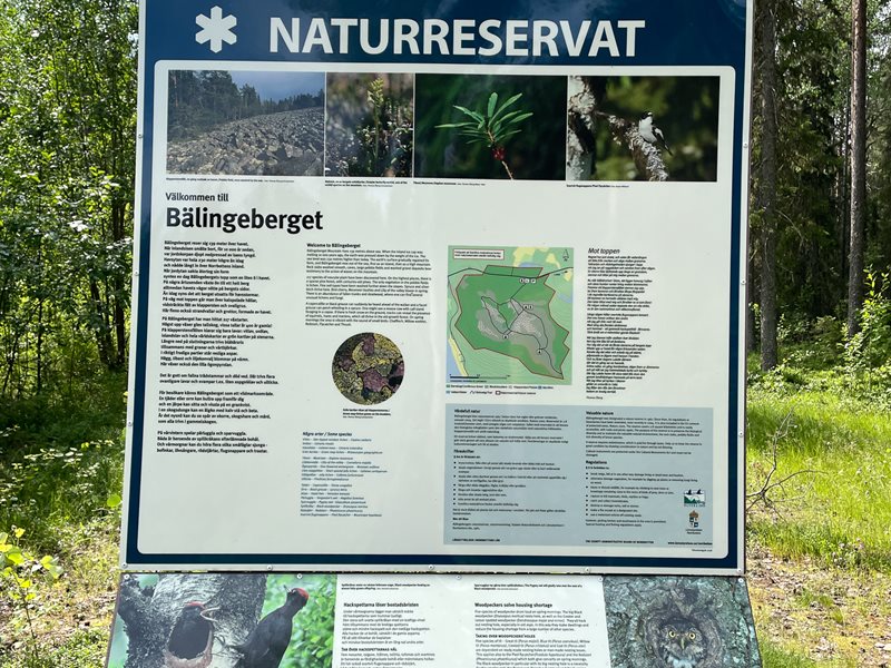
Bälingeberget
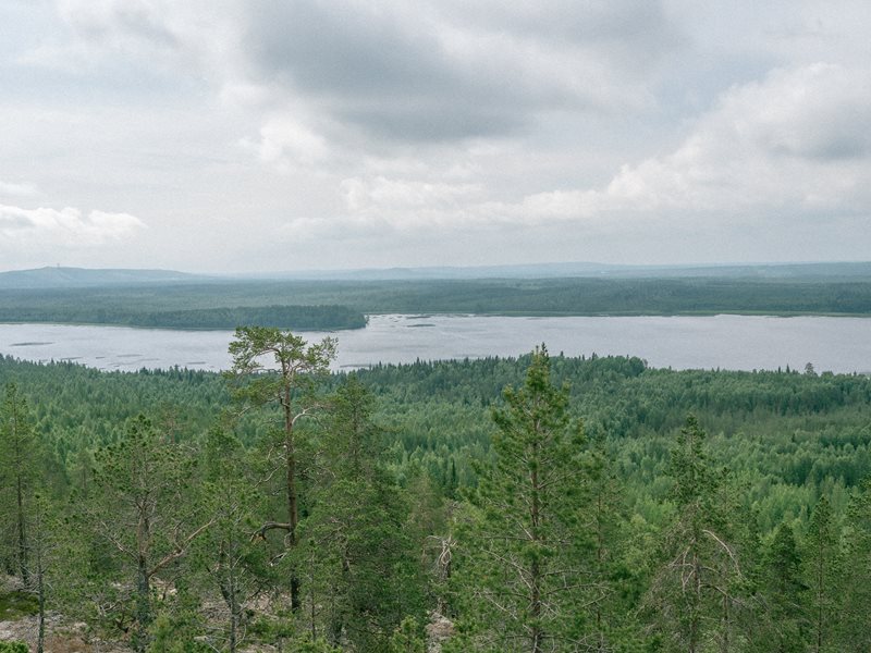
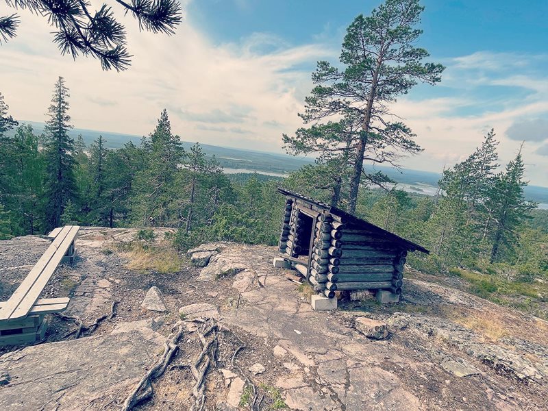
Bälingeberget mountain reaches a height
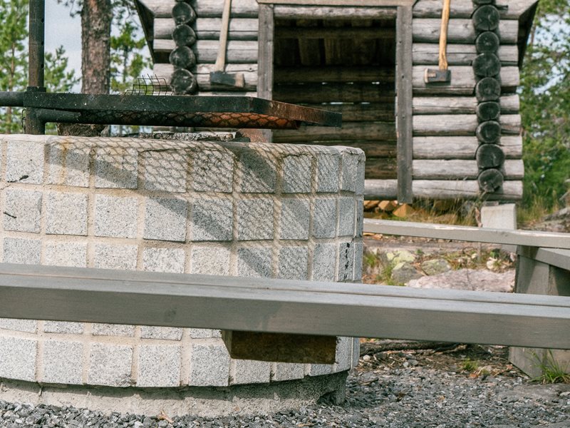
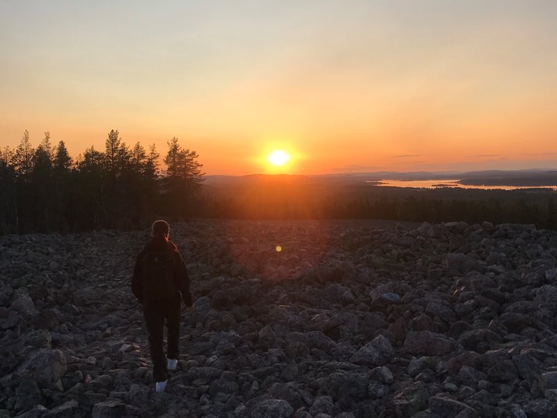
of 139 metres above sea level. There is an excellent view from the top. The area contains trails, fireplaces and latrines. At the car park there is an information board. A trail runs through the forest and past the shingle field up to the summit.
The vast inland ice cap that covered the area 10,000 years ago was so heavy that it pressed down the Earth’s crust. When the ice melted, the sea spread out over the pressed down areas. The sea level was 230 m higher than it is today. Then the Earth’s crust began to rise, and the sea level fell. As the Earth’s crust gradually returned to its original shape, the day came when the summit of Bälingeberget could be seen as a small island in the sea. Over the millennia, the sea waves wore down the sides of the island. On your way to the top you cross enormous fields of shingle left there by the waves.
Bälingeberget lies 15 km west of Luleå town centre. From Luleå you pass through Bergnäset and continue northwards past the village of Gäddvik. At the village of Bälinge there are signposts to the nature reserve. From Boden, a road runs along the south side of Luleälven River through the villages of Unbyn and Södra Sunderbyn to Bälinge.
See map and description of the hiking tours in our guide ”Hiking in Luleå”.